Kitimat River Fishing Locations
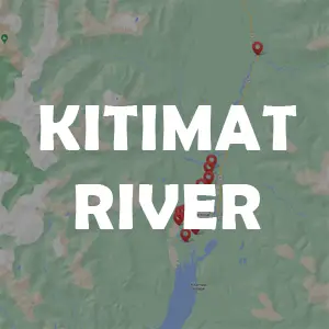
The Kitimat River is location in Region 6 of BC. It carries multiple salmon species and fishing opportunities on large river bars, runs and pools. The river dumps into the Douglas Channel below the town of Kitimat.
Radley Park
An RV Park near the river.
Lower Dyke Fishing Bar
Lower Dyke Bar is great for bar fishing, casting and jig fishing. Bar is located just upriver from the Douglas Channel and fishing is impacted by high tides where moving salmon enter the river.
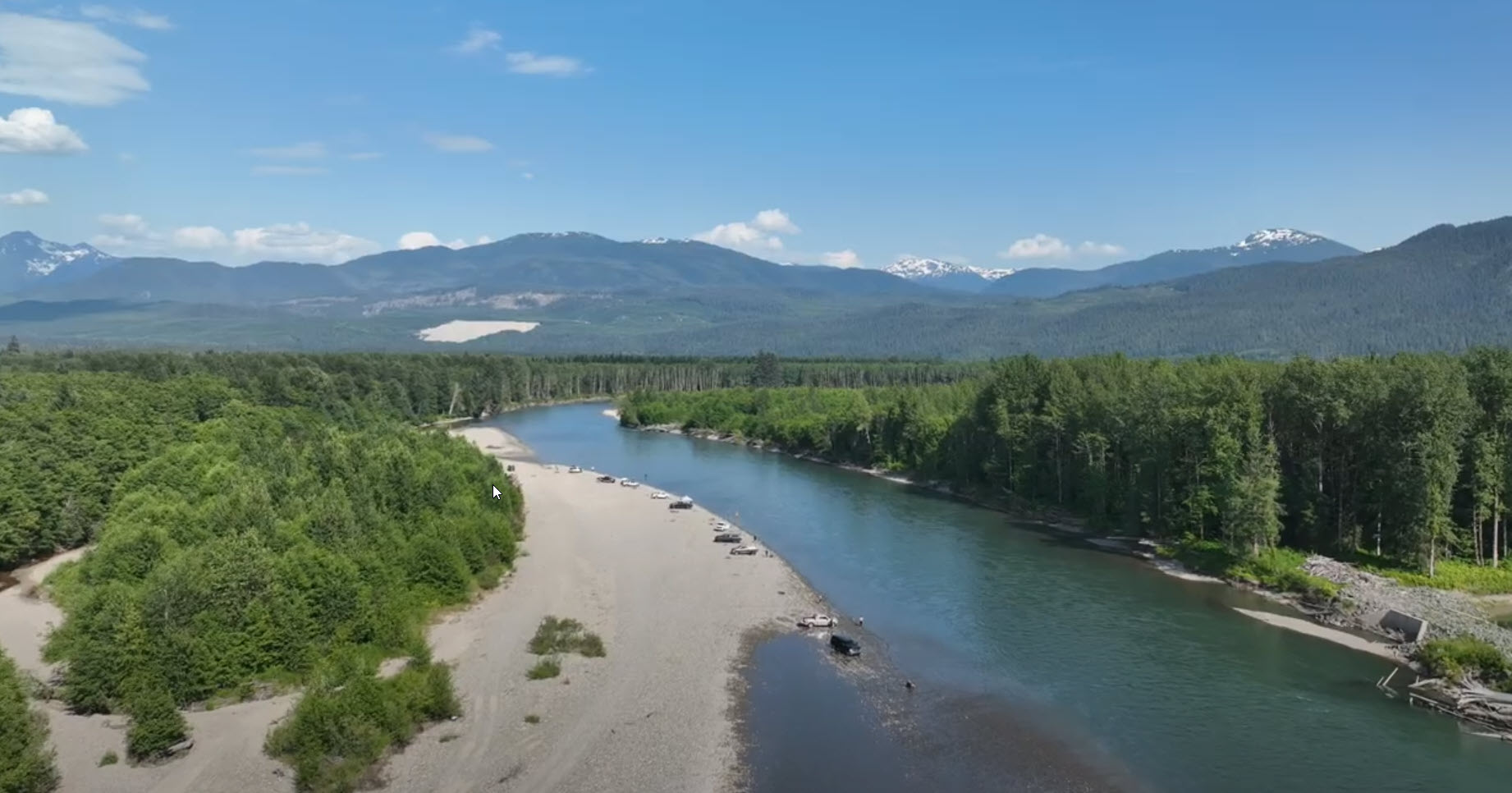
Lower Dyke Fishing Bar
Upper Dyke Fishing Bar
Upper Dyke bar is good for bar fishing, casting and in the faster moving bottom bounce techniques.
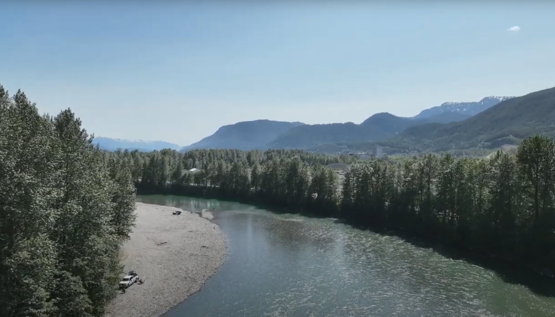
Upper Dyke Fishing Bar
Haisla Bridge Run
Anglers typically fish below on both sides of the bridge. This is a popular and very easy accessible fishing location.
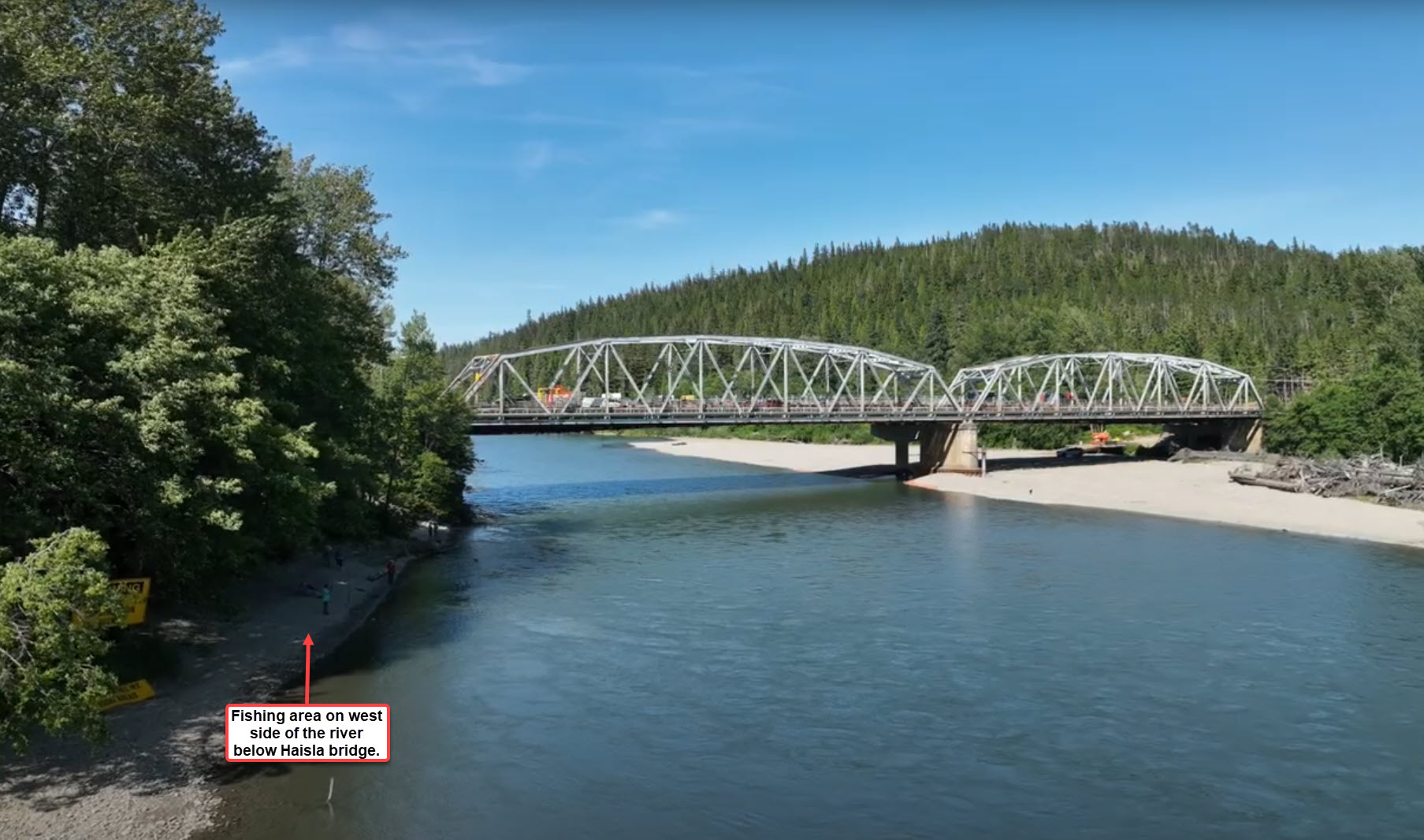
Haisla bridge fishing location
Kitimat Fishing Hatchery
A true "hot spot" on the Kitimat River. Fish the bar below the hatchery using a variety of drift and bottom-bounce techniques. Best fished on incoming to high tides as these bring in fresh fish from the tidal water.

Kitimat Hatchery fishing bar
Powerlines (West-side) Fishing Run
Powerline (West-side) fishing area is easily found on a map as its where the power cut lines meet the river. This location is not as easily accessed unless you have 4-wheel drive. Fishing on the west side of the river above (up river) the powerlines area is more popular section of water.
There is a deep hole in the run where you can target holding fish.
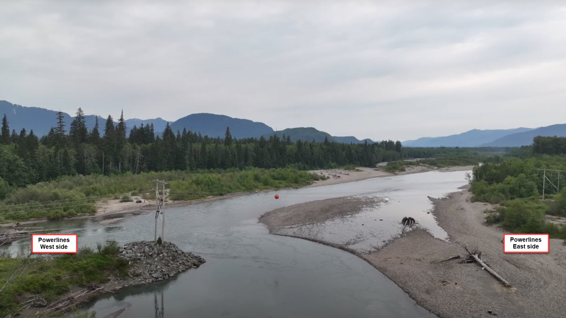
Powerlines fishing run
Confluence Hole above Power Lines
Above the Powerlines run and the confluence section of the river, the best spot to fish is on the west side of the confluence. Often lots of log jams in the area, fishing below these areas for holding fish in slower current.

confluence fishing location
Boat Launch
An access point to put small boats in. Essentially a small dirt boat launch.
Hirsch Creek
Hirsch Creek dumps into Kitimat River.
Red Bridge Chinook Boundary
Kitimat Red Bridge Chinook Upper Boundary.
Kitimat River fishing map locations
- Radley Park
- Lower Dyke Fishing Bar
- Upper Dyke Fishing Bar
- Haisla Bridge Hole
- Kitimat Fishing Hatchery
- Powerlines (west side) fishing run
- Confluence hole above power lines
- Boat Launch
- Hirsch Creek
- Red Bridge (upper river)


Additional Tips