Squamish River & Tributaries Fishing Locations
Squamish River and its Tributaries house some of the most beautiful scenery in British Columbia. There are excellent hiking, camping and of course fishing opportunities in this area. As for the fishing, there are miles and miles of rivers available so you can get away from the crowds to find your own water. This tip guide outlines some sections to get you started in exploring and fishing the Squamish area.
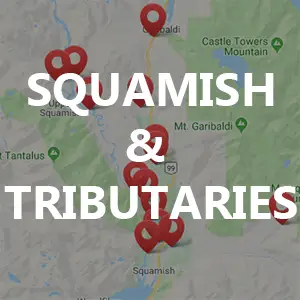
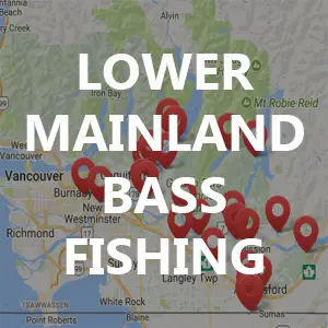
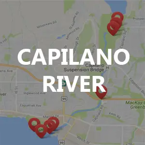
The Google Map below outlines a number of spots to explore in the Squamish area. These spots can often change do to freshet, so be aware of that.
Always check your fishing regulations as some of these areas noted are not open for fishing. Additionally, there is a lot of Native reserve land around Squamish and tributary rivers so ensure you’re not trespassing.
Squamish River Campground
Anderson Beach
Chance Creek Bridge
Cheakamus Canyon
Upper Cheakamus Runs
There are a number of runs to walk around in the upper river sections.
Cheakamus Centre
Railroad Creek
This little creek just off Cheakamus River accessed by Railroad (park at 2nd bridge), it gets stacked with Coho. This little creek may be connected to Little Foot Hatchery.
Paradise Valley Campground Run
Down river (just before) the Paradise Valley Campground there is a bridge that crosses the Cheakamus River. There are stretches of this river that cannot be fished at specific times of the year, please ensure you read the follow the fishing regulations.
The Tracks
The Tracks (lower section)
This run is just above Fergies (and just upriver from the power lines that cross the river). Should be able to access via the tracks or path along side. This is just below the “Tracks” run. This run is great for Salmon in Fall months & Bull Trout in the November.
Fergies Upper Pool
This big pool is just above Fergies and near the Powerlines.
Fishing Boundary - Powerline at 9 mile
The powerline at 9 mile on the Squamish river is not a fishing location per say but is often used as a fishing boundary marker by Fisheries and Oceans Canada. This boundary is often focused on specific species during sensitive spawning times throughout the year. I’ve often read/heard of confusion on this exact location so have included it on this map.
Mouth of the Cheakamus River
This is the upper Cheakamus river mouth into the Squamish River. This is a great spot for fly fishing as it provides a lot of back casting space. It’s a bit of walk to this location but it’s worth it.
Mouth of the Cheakamus River 2
This section of water often changes with freshet, it is the lower of the 2 Cheakamus river mouths into the Squamish River. At the mouth and immediately below holds some excellent fishing runs.
Fishermans Park
Mamquam canyon below BC Hydro Dam
Mamquam Campground Area
CN Railway Bridge over Mamquam River
Mamquam Confluence
The Spit
Ashlu Creek Generating Plant area
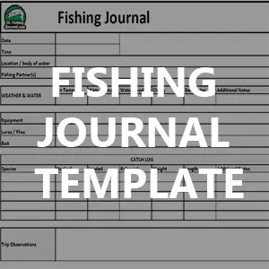
Fishing Trip Journals in the Squamish Area
Pink & Chinook Salmon in Squamish River
Here is a video where I’m fishing spoons and spinners for Pink Salmon and get a surprising Chinook Salmon as well.
It’s an odd year and it’s Pink Salmon season! This trip was at the tail end of the Pink season as most come through in August and start to trail off by September. For the full trip details see journal here.
Additional Tips
